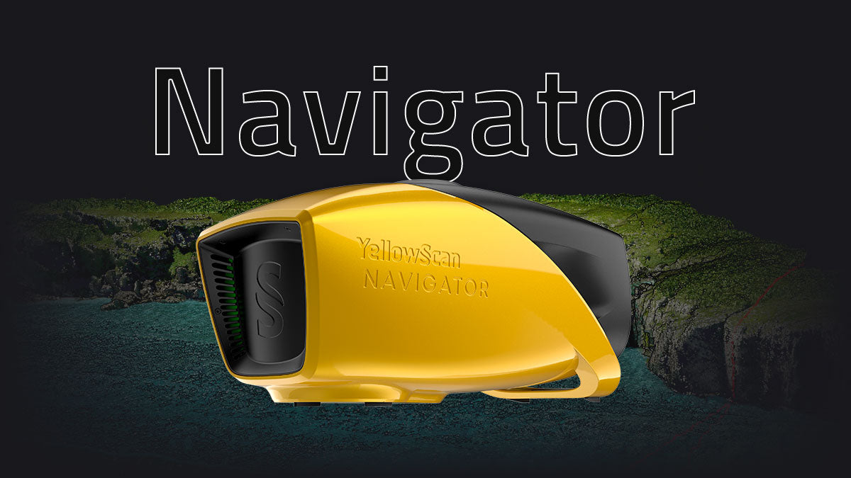
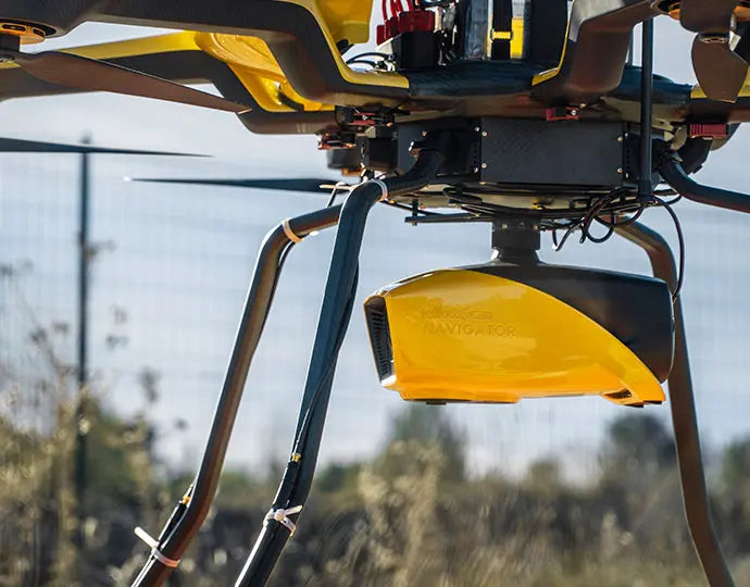
YellowScan Navigator: Advanced Bathymetric LiDAR Solution

The YellowScan Navigator is a lightweight, one-button bathymetric LiDAR solution designed for simultaneous land and water surveying. Weighing just 3.7 kg (without battery), it’s ideal for both multirotor and helicopter UAVs, delivering high-precision results with up to 3 cm accuracy.
Built around YellowScan’s proprietary laser scanner and the SBG Quanta Micro IMU, the Navigator provides exceptional data quality, a 40° field of view, and an integrated global shutter camera for precise point-cloud colorization.
Each system comes pre-calibrated, includes a GREMSY quick-release mount for fast deployment.
Key Features
- Simultaneous land & shallow-water surveying
- Lightweight: 3.7 kg (battery excl.)
- Accuracy & precision: 3 cm
- Integrated RGB global shutter camera
- Up to 45 minutes autonomy per battery
- Rapid deployment with GREMSY mount

Typical Applications
- Shoreline, river, and estuary mapping
- Hydrographic surveys of lakes and ponds
- Environmental monitoring and resource management
- Infrastructure inspection and volumetric studies
Payment & Security
Payment methods
Your payment information is processed securely. We do not store credit card details nor have access to your credit card information.
