

Surveying & Mapping Software
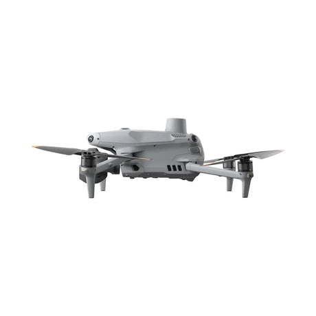
When integrated with DJI drones, DJI Terra provides a unified workflow for data capture, processing, and analysis, improving efficiency and accuracy in aerial surveying.
Operational Needs & Priorities
-

High Accuracy Data Capture
Achieve survey-grade precision with reliable, repeatable drone data collection. RTK/PPK workflows and high-resolution sensors deliver accurate geospatial outputs for engineering, construction, and mapping.
-

Field-Ready Durability
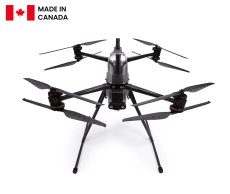
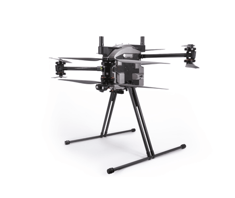
Operate confidently in demanding conditions with rugged drone systems built for the field. Designed for wind resistance and temperature tolerance, they deliver consistent performance across challenging job sites.
-

Safe Access to Difficult Terrain
Capture data in areas that are unsafe or difficult to reach on foot. Drones reduce risk to crews while enabling efficient surveying across steep, remote, and hazardous environments.


Engineering and Construction
Improve project efficiency and decision-making with accurate, high-resolution aerial data. Drone operations enable fast, repeatable site surveys, helping teams monitor progress, reduce time in the field, and safely capture data in complex or hazardous environments.
Key Use Cases:
- Aerial surveying
- Topographic mapping
- Site progress tracking
- Volumetric measurements
- Infrastructure inspection
- Earthworks monitoring
- Pre-construction planning

City Modelling
Capture detailed, scalable data to support urban planning and digital modelling. Drone-based mapping allows teams to quickly generate accurate 2D maps and 3D models using automated flight paths and consistent grid coverage.
Key Use Cases:
- 2D orthomosaic mapping
- 3D model generation
- Digital twin creation
- Urban planning support
- Infrastructure visualization
- Zoning and development analysis
- Large-area mapping

Natural Resource Management
Gain better visibility into land, terrain, and environmental conditions with drone-collected data. Aerial insights support more informed planning, monitoring, and sustainable management of natural resources.
Key Use Cases:
- Land use analysis
- Agricultural planning
- Environmental monitoring
- Forestry management
- Conservation assessment
- Terrain mapping
- Watershed analysis