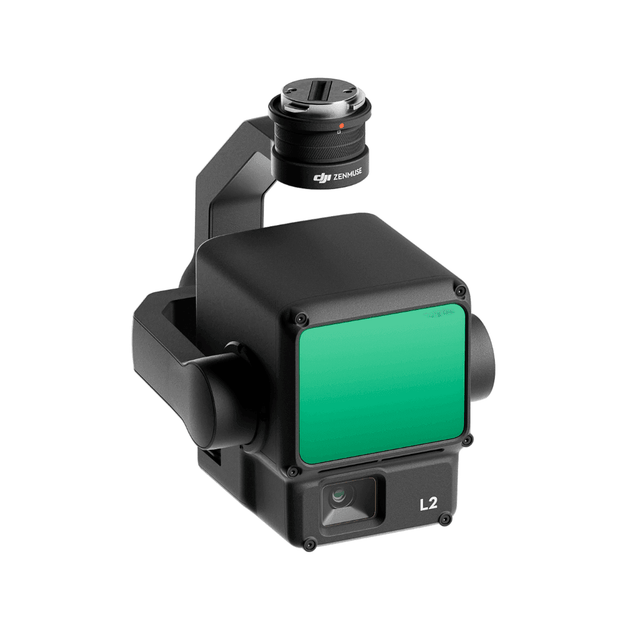
DJI Zenmuse L2 | High-Precision Frame LiDAR Mapping Payload
The DJI Zenmuse L2 integrates frame LiDAR, a self-developed high-accuracy IMU system, and a 4/3 CMOS RGB mapping camera — providing DJI flight platforms with precise, efficient, and reliable geospatial data acquisition. When used with DJI Terra, the DJI Zenmuse L2 delivers a turnkey solution for 3D data collection and high-accuracy post-processing.
DJI Zenmuse L2 Key Features
High Precision
Combining GNSS and a self-developed high-accuracy IMU system, the L2 achieves 4 cm vertical accuracy and 5 cm horizontal accuracy for survey-grade results.
Exceptional Efficiency
Ready for work immediately on power-up, the L2 can collect point cloud data from a 2.5 km² area in a single flight — significantly increasing data collection throughput for large-scale mapping projects.
30% Detection Range Increase
The L2 reaches a detection range of up to 250 m (10% reflectivity, 100 klx) and 450 m (50% reflectivity, 0 klx). Standard operational altitude now extends up to 120 m.
Superior Penetration
With a spot size of 4×12 cm at 100 m — one fifth that of the L1 — the L2 detects smaller objects, delivers more detailed models, and can generate Digital Elevation Models (DEM).
One-Click Processing on DJI Terra
Generate a standard-format 3D point cloud model and DEM with a single click. Point cloud quality can also be analyzed directly within DJI Terra for streamlined post-processing workflows.
Point Cloud LiveView
Supports three display modes — RGB, point cloud, and point cloud/RGB side-by-side — for real-time progress monitoring and instant field verification of recorded 3D point cloud data.
Payment & Security
Payment methods
Your payment information is processed securely. We do not store credit card details nor have access to your credit card information.