Emesent GX1
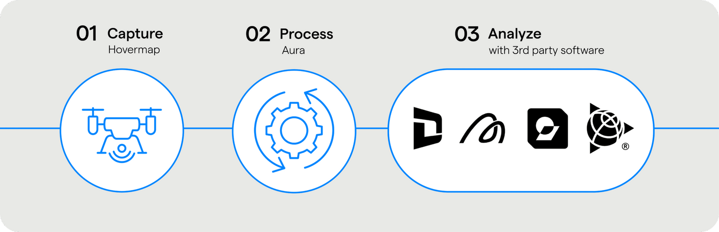
Emesent delivers advanced autonomous mapping solutions designed for complex, GPS-denied, and hazardous environments. Powered by cutting-edge SLAM technology, Emesent enables rapid, high-fidelity 3D data capture in locations that are difficult or unsafe for people to access. Its systems support aerial and ground robotic platforms, allowing operators to confidently map, inspect, and understand challenging environments with minimal setup and reduced operational risk.
By combining autonomy, robust data processing, and intuitive visualization tools, Emesent transforms how industries capture spatial awareness, make informed decisions, and operate in confined or high-risk spaces.

Hovermap ST-X

Emesent GX1

How Hovermap ST-X Supports Open Pit Mining
Rapid Topographic Mapping
Capture high-density 3D data of bench faces, haul roads, and pit slopes in minutes, speeding up planning cycles and enabling frequent updates.
Safe Operations
Enables remote data acquisition without sending survey crews into hazardous zones, reducing exposure to unstable ground and heavy equipment.
High-Resolution Stockpile Measurement
Generate accurate volume calculations for stockpiles, waste dumps, and earthworks — supporting inventory tracking and operational reporting.
Frequently Asked Questions
What LiDAR is GX1 using?
What LiDAR is GX1 using?
The Hesai XT32M2X - same as the Hovermap STX.
What will GX1’s IP rating be?
What will GX1’s IP rating be?
GX1 is designed to IP65 and we will seek official certification post-launch.
GX1 is not explosion proof or intrinsically safe.
How does Commander work with GX1?
How does Commander work with GX1?
All users will need to use Commander with the GX1. This helps users get the best scan result first time, and helps encourage them to upgrade to the latest software versions.
Is there a blind spot above and below thes canner?
Is there a blind spot above and below thes canner?
Yes, approximately 1.8m in diameter when on the backpack for a 1.75m person. For highly cramped spaces users should use the survey pole or supported handheld accessory as this will allow for greater
ground and ceiling coverage.
How does LiDAR and camera data get offloaded?
How does LiDAR and camera data get offloaded?
LiDAR and camera data is offloaded simultaneously. The camera data is stored in four separate mp4 files which are merged by Aura for colourisation and 360 imagery. Currently the LiDAR and camera data cannot be offloaded separately.
Can GX1 be mounted on a drone?
Can GX1 be mounted on a drone?
GX1 is not drone mountable. This is because:
1. By designing GX1 for the ground, we’ve aimed to create a product that is market-leading for that use case. Designing for the drone would have reduced our ability to build a first-class AEC solution.
Hovermap is a top-tier drone mounted scanner and we want to continue to support it. This expands the overall market that we can address with Emesent products.
Is GX1 NDAA compliant?
Is GX1 NDAA compliant?
No, the GX1 is not NDAA compliant as the Hesai LiDAR is made in China.
Why is GX1 so much heavier than the STX?
Why is GX1 so much heavier than the STX?
GX1 includes a lot more integrated functionality (cameras, RTK, batteries). The smaller and lighter GX1 is, the worse performing the cameras, RTK and batteries we can fit in the scanner.
Users told us it’s about ergonomics, not weight. Through our design decisions we’ve created an ergonomic solution that is usable and versatile, even though GX1 is heavier:
- The backpack is more comfortable, adjustable and has an excellent centre of gravity.
- The survey pole can be rested on the user’s shoulder for support or on the ground for short periods.
- The handheld comes with a harness for additional support.
- Weight is irrelevant for vehicle use.
Can GX1 be used in non-standard positions such as sideways or upside down?
Can GX1 be used in non-standard positions such as sideways or upside down?
Yes, though this would be uncommon use and not recommended unless necessary for the scan. RTK quality will be impacted.
How big are my projects with the integrated camera data?
How big are my projects with the integrated camera data?
This will vary depending on the size of the scan, the frequency of image extraction, the variance in the environment and the size of the panoramic image created.
An example 16-minute walking scan had the following data sizes:
- Offloaded data: 5GB
- Output (colourised): 3.5GB
- 360 images: 1.5GB
Colourisation settings were on maximum with extraction every 3 metres.