Drones & Robotics for Public Safety

We provide public safety agencies with a versatile and agile toolset for efficient emergency response, incident management, and proactive safety measures. Capture aerial data, provide real-time situational awareness, and access hard-to-reach areas.

Public Safety Solutions

Advanced technology for first responders and emergency services.

Learn more

Operational Needs & Priorities

  • Speed of Response

    Gain real-time visibility before teams arrive on scene. Drone support helps responders assess conditions faster, prioritize resources, and make informed decisions when every second matters.

  • Officer Safety

    Support safer decision-making by giving teams an aerial view from a distance. Remote overwatch helps reduce unnecessary exposure while improving situational awareness in active or uncertain environments.

  • Operational Efficiency

    Streamline scene assessment, monitoring, and response coordination with reliable aerial intelligence. Faster information flow helps teams resolve incidents more efficiently and allocate resources where they are needed most.

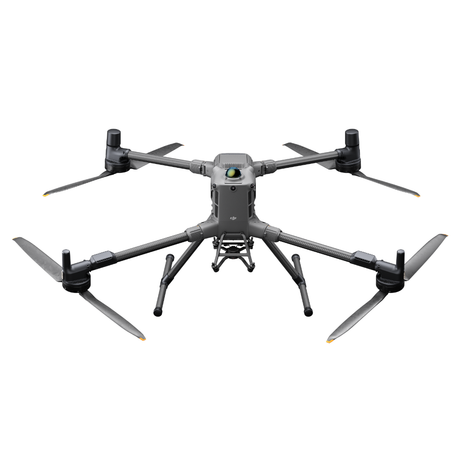
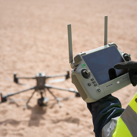
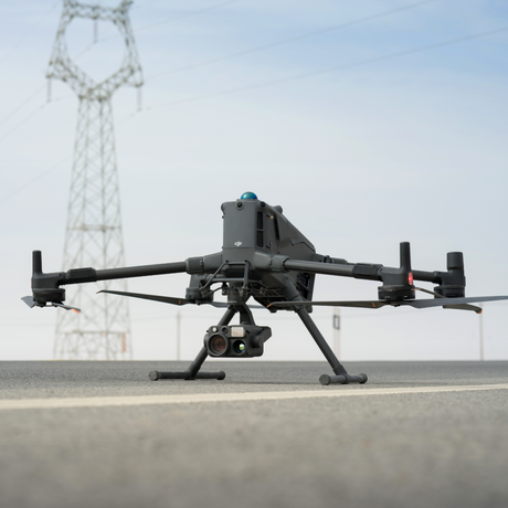
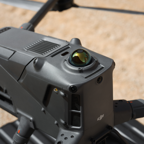
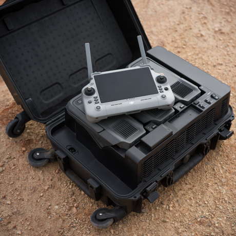
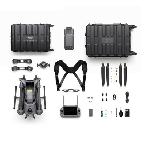
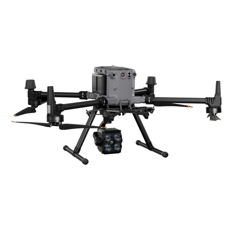
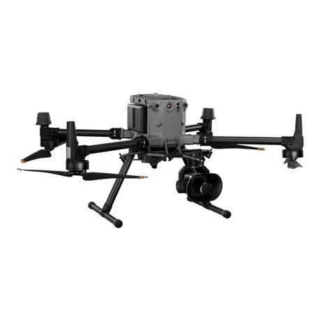
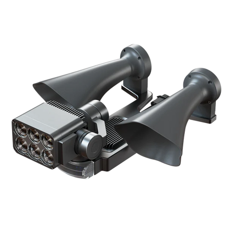
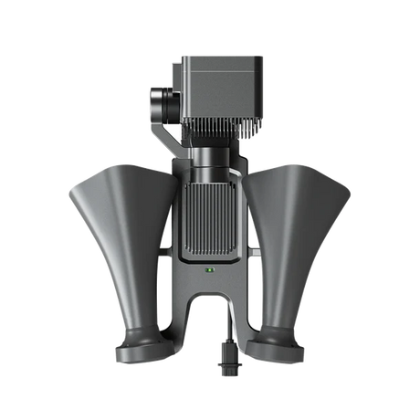
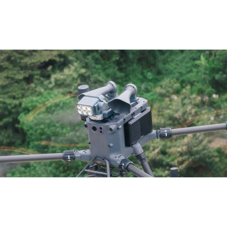
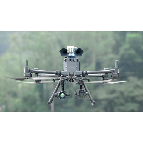
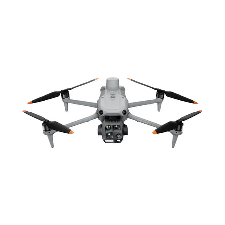
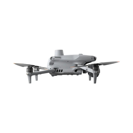
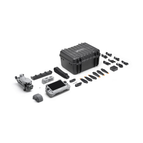
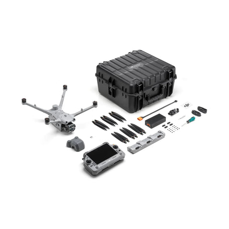
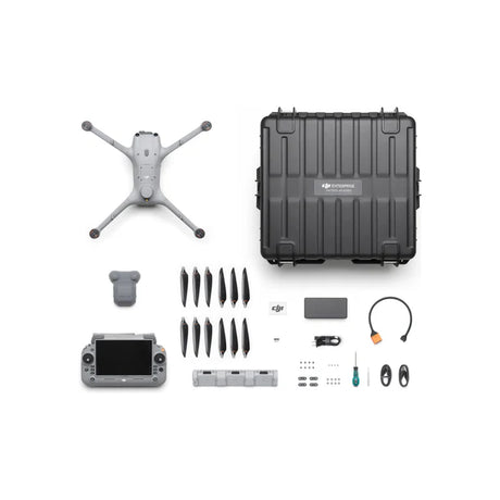
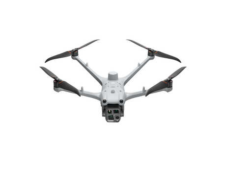
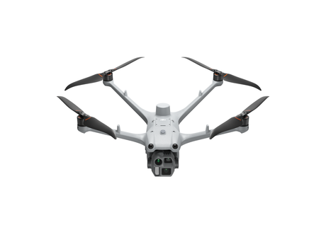
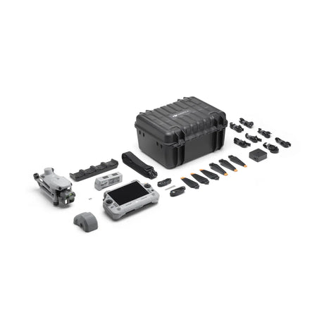
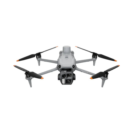
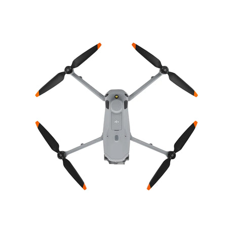
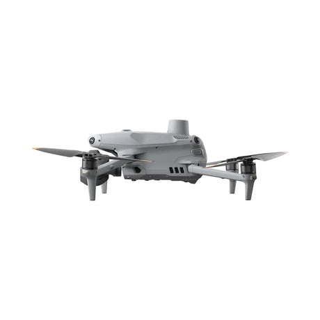
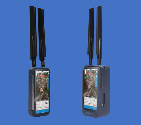
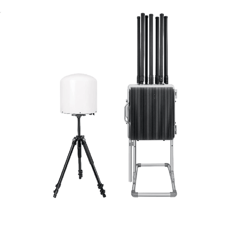
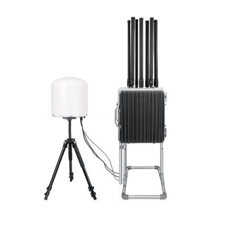
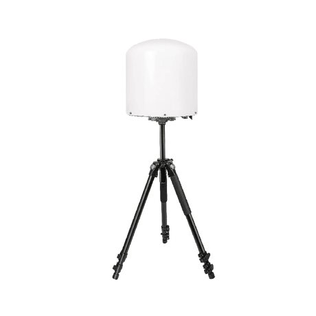
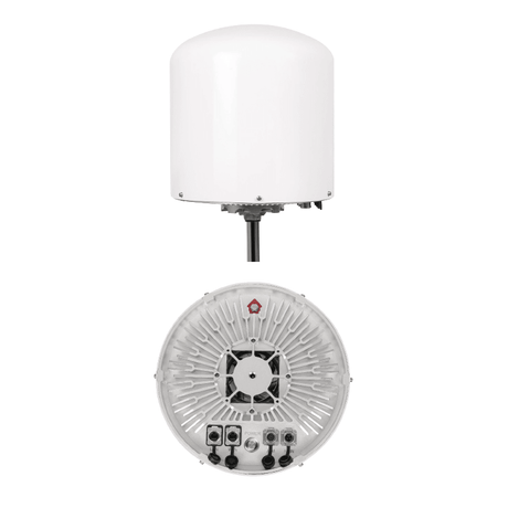
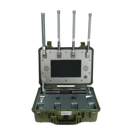
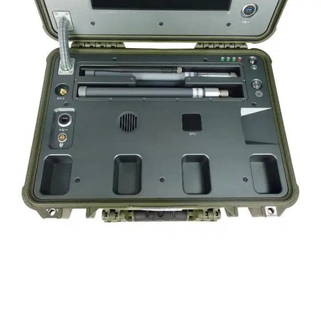
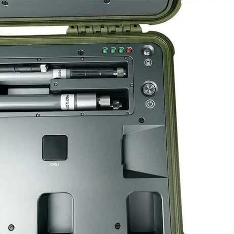
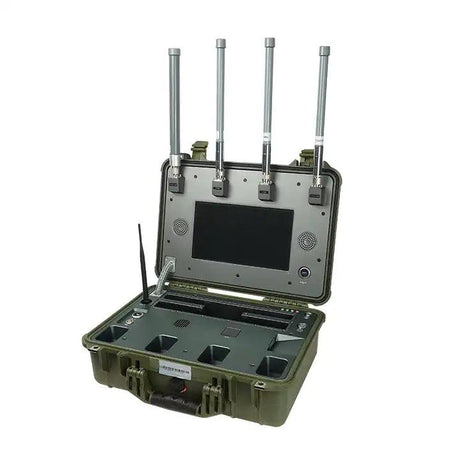
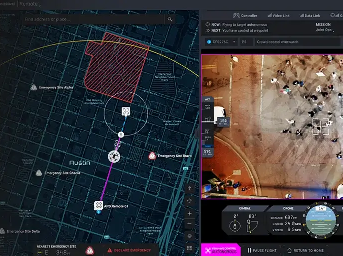
Emergency Response Technology

Drone as First Responder (DFR)

Our advanced DFR solutions provide rapid emergency response capabilities, delivering real-time situational awareness and critical intelligence to first responders. With thermal imaging, live video streaming, and autonomous flight capabilities, our drones enhance public safety operations and reduce response times in critical situations.

Get Your Custom DFR Solution Today

Contact our experts to learn how DFR technology can enhance your emergency response capabilities.

Applications

Law Enforcement

Support faster, safer response with real-time aerial awareness. Drone operations can help officers assess active scenes, monitor perimeters, track movement, and make informed decisions before entering uncertain environments.

Key Use Cases:

  • Scene overwatch
  • Suspect search
  • Perimeter monitoring
  • Traffic incidents
  • Crowd monitoring
  • Autonomous patrol
  • (DFR) Drone as first responder operations

Search & Rescue

Support faster, more informed search operations with real-time aerial visibility, thermal imaging, and rapid area coverage. Drone systems can help teams scan forests, fields, shorelines, remote terrain, disaster zones, and low-visibility environments while reducing risk to ground crews and improving coordination during time-sensitive missions.

Key Use Cases:

  • Missing person search
  • Thermal detection
  • Night operations
  • Shoreline and forest scanning
  • Flood response
  • Storm damage assessment
  • Remote terrain search
  • Emergency mapping

Firefighting

Support safer, faster fireground decisions with real-time aerial visibility and thermal imaging. Drone systems can help crews assess fire conditions, identify hotspots, monitor structure fires, inspect hazardous areas, and provide incident command with a clearer view of the scene without putting personnel directly in harm’s way.

Key Use Cases:

  • Fire scene size-up
  • Thermal hotspot detection
  • Structure fire monitoring
  • Wildfire support
  • Hazmat response
  • Accident response
  • Post-incident assessment

Disaster Management

Support faster coordination during large-scale incidents with real-time aerial visibility, mapping, and wide-area monitoring. Drone systems can help emergency management teams assess damage, identify hazards, monitor changing conditions, and share critical information across departments during floods, storms, wildfires, public events, and infrastructure-related emergencies.

Key Use Cases:

  • Flood monitoring
  • Storm damage assessment
  • Wildfire support
  • Evacuation route checks
  • Infrastructure inspection
  • Emergency mapping
  • Public event monitoring
  • Multi-agency response coordination

Connect with an expert