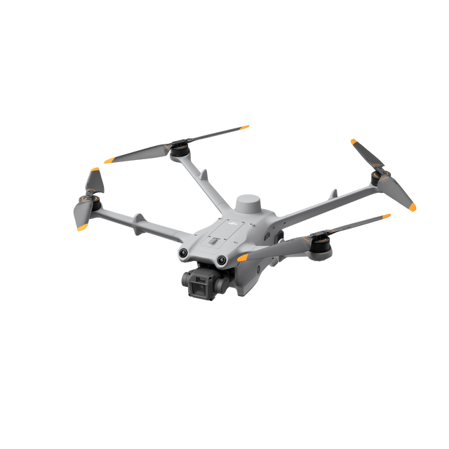

DJI Matrice 3D Drone | High-Precision Mapping for DJI Dock 2
The DJI Matrice 3D drone marks a pivotal advancement in enterprise drone technology, meticulously designed for integration with DJI Dock 2. Purpose-built for high-precision mapping, security, and inspection, it features dual cameras with mechanical shutters engineered for consistent, accurate autonomous data collection.
*Batteries and RC not included*
DJI Matrice 3D Drone Key Features
Dual Mechanical Shutter Camera System
A dual-camera setup featuring both a telephoto and wide-angle camera, each with a mechanical shutter, enables 1:500 scale high-precision mapping — capturing sharp, motion-blur-free images essential for accurate surveying and geospatial workflows.
Camera Specifications
- Wide-Angle Camera: 4/3 CMOS sensor, 24mm equivalent lens, 20MP effective pixels, mechanical shutter
- Telephoto Camera: 1/2-inch CMOS sensor, 162mm equivalent lens, 12MP effective pixels for detailed data collection over large areas
Advanced Mapping Capabilities
Advanced imaging technologies enable exceptionally detailed geospatial data collection for large-scale mapping and complex surveying projects. Each flight is optimized for maximum data precision — delivering high-quality geographical outputs for infrastructure planning, land management, and inspection programs.
DJI Dock 2 Integration
Seamlessly integrated with DJI Dock 2, this platform enables fully automated, repeatable mapping missions without an on-site pilot — ideal for organizations running continuous autonomous data collection programs across remote or large-scale sites.
Payment & Security
Payment methods
Your payment information is processed securely. We do not store credit card details nor have access to your credit card information.