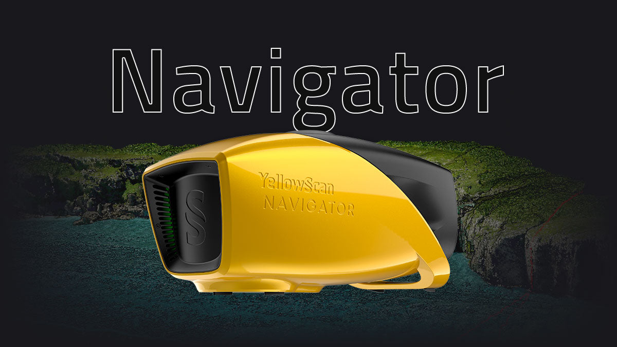
YellowScan Navigator: Advanced Bathymetric LiDAR Solution

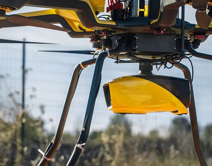
The YellowScan Navigator is a lightweight, one-button bathymetric LiDAR solution designed for simultaneous land and water surveying. Weighing just 3.7 kg (without battery), it’s ideal for both multirotor and helicopter UAVs, delivering high-precision results with up to 3 cm accuracy.
Built around YellowScan’s proprietary laser scanner and the SBG Quanta Micro IMU, the Navigator provides exceptional data quality, a 40° field of view, and an integrated global shutter camera for precise point-cloud colorization.
Each system comes pre-calibrated, includes a GREMSY quick-release mount for fast deployment.
Key Features
- Simultaneous land & shallow-water surveying
- Lightweight: 3.7 kg (battery excl.)
- Accuracy & precision: 3 cm
- Integrated RGB global shutter camera
- Up to 45 minutes autonomy per battery
- Rapid deployment with GREMSY mount

Typical Applications
- Shoreline, river, and estuary mapping
- Hydrographic surveys of lakes and ponds
- Environmental monitoring and resource management
- Infrastructure inspection and volumetric studies
Paiement et sécurité
Méthodes de payement
Vos informations de paiement sont traitées de manière sécurisée. Nous ne stockons pas les détails de votre carte de crédit et n'avons pas accès aux informations de votre carte de crédit.
