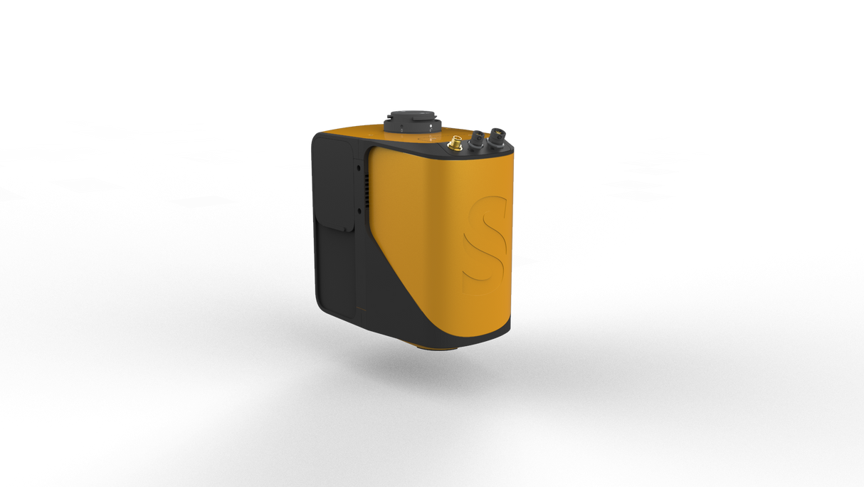
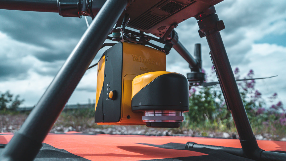
YellowScan Mapper: Easy Mapping Redefined
The YellowScan Mapper is designed to make UAV LiDAR accessible, combining ease of use with impressive performance. Lightweight at just 1.3 kg (battery excl.), the Mapper is simple to deploy on multirotor, fixed-wing, or helicopter UAVs and delivers 4 cm precision and accuracy at altitudes up to 70 m.
Powered by the Livox Horizon scanner and Applanix APX-15 UAV IMU, it captures up to 240,000 shots per second across an 81.7° × 25.1° field of view, producing accurate datasets even in challenging conditions. With a typical autonomy of one hour and push-to-fly simplicity, the Mapper is an ideal entry point for professionals who want reliable LiDAR mapping at a cost-effective price.
Key Features
4 cm precision & accuracy
Max flight altitude: 70 m
Lightweight: 1.3 kg (battery excl.)
Up to 240,000 shots per second
One-button workflow for fast setup
Typical Applications
Entry-level surveying and mapping
Corridor inspections
Forestry and vegetation monitoring
Environmental and terrain analysis
Paiement et sécurité
Méthodes de payement
Vos informations de paiement sont traitées de manière sécurisée. Nous ne stockons pas les détails de votre carte de crédit et n'avons pas accès aux informations de votre carte de crédit.
