YellowScan Fly & Drive - One System, Limitless Terrain

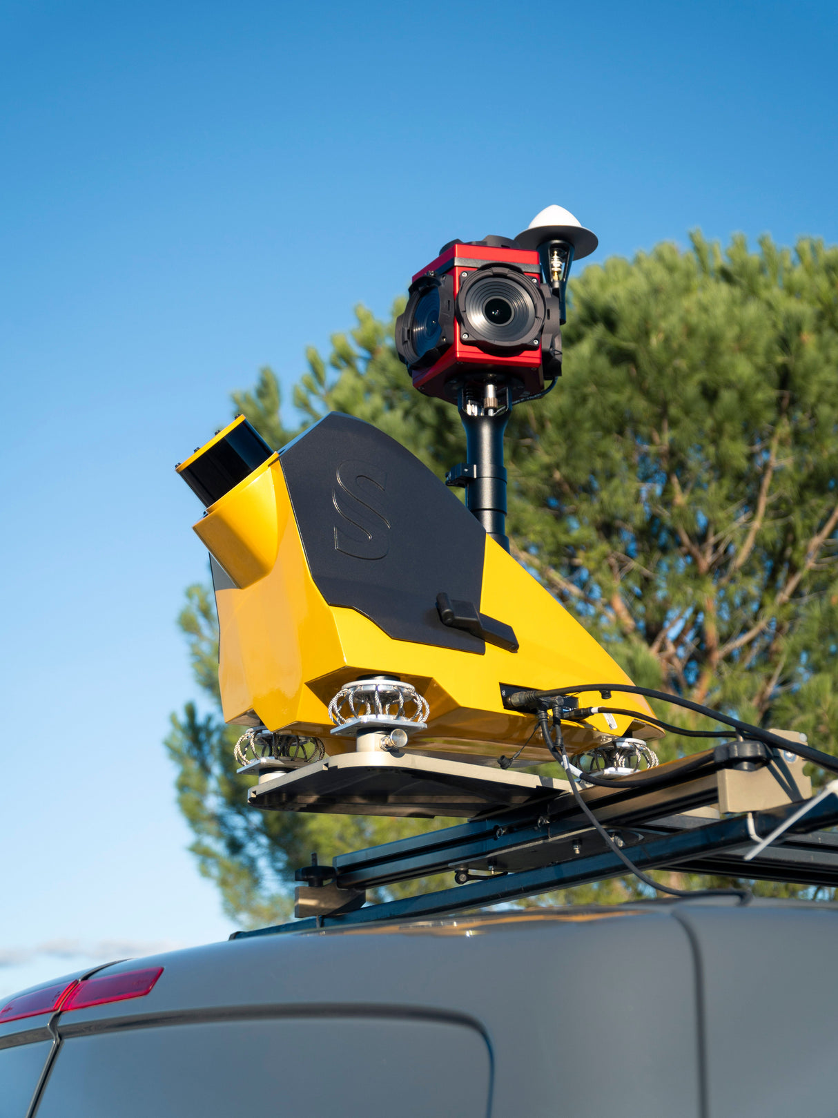
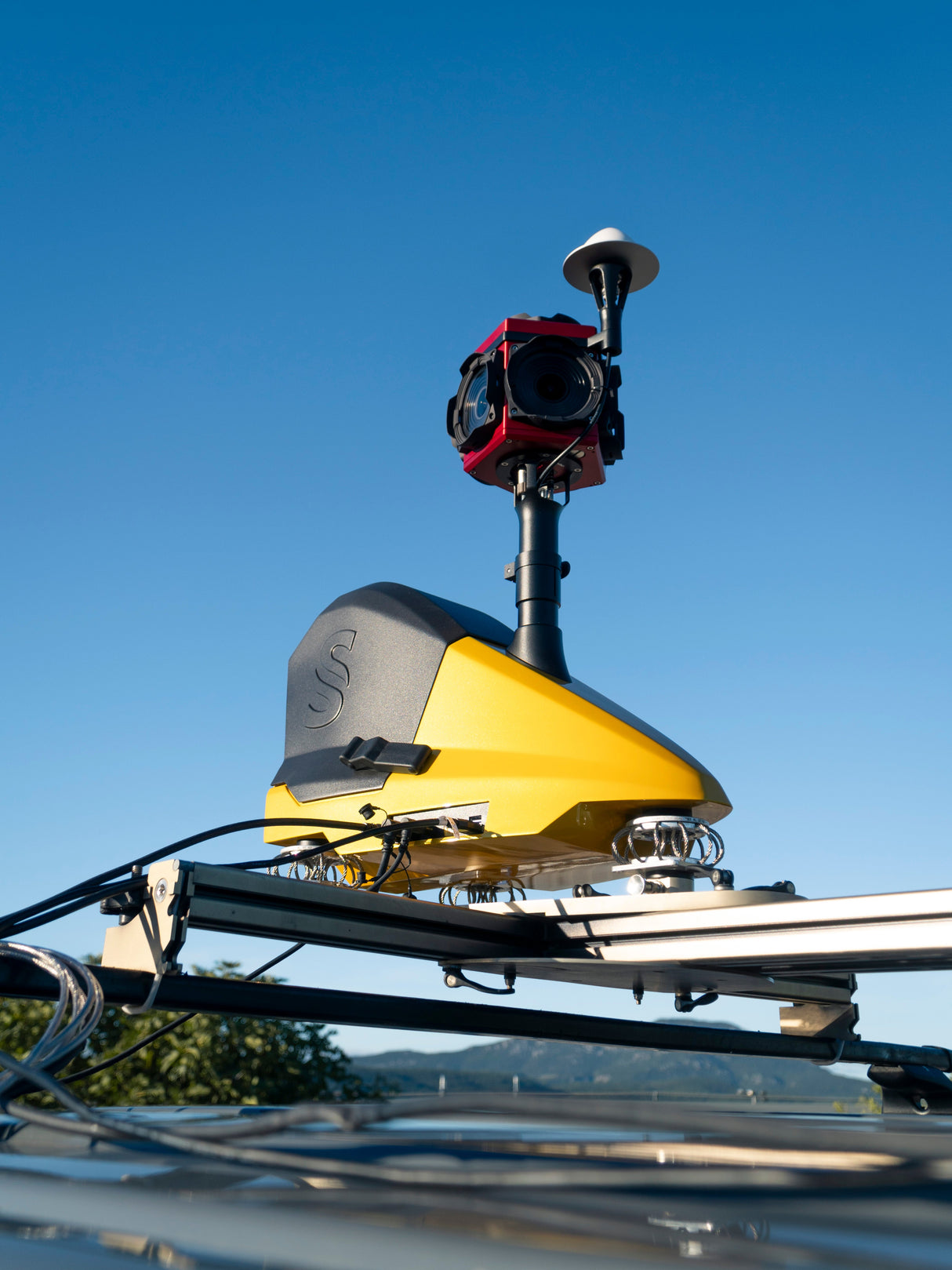
The YellowScan Fly & Drive is a versatile LiDAR solution built for seamless geospatial data collection across both aerial and ground-based missions. Whether mounted on a UAV or land vehicle, it delivers high-resolution point clouds with 3 cm precision and 2.5 cm accuracy—at speeds up to 50 km/h and ranges up to 200 m.
A custom quick-mount bracket enables fast transitions between drone and vehicle, minimizing downtime and maximizing field efficiency. Compatible with multirotor, fixed-wing, and VTOL UAVs, Fly & Drive offers unmatched operational flexibility—ideal for corridor mapping, urban scans, and rugged terrain.
Accelerate deployment, expand mission capabilities, and reduce ROI timelines with this adaptable, all-terrain LiDAR solution.
Paiement et sécurité
Méthodes de payement
Vos informations de paiement sont traitées de manière sécurisée. Nous ne stockons pas les détails de votre carte de crédit et n'avons pas accès aux informations de votre carte de crédit.


