Fly & Drive
YellowScan Fly & Drive - One System, Limitless Terrain

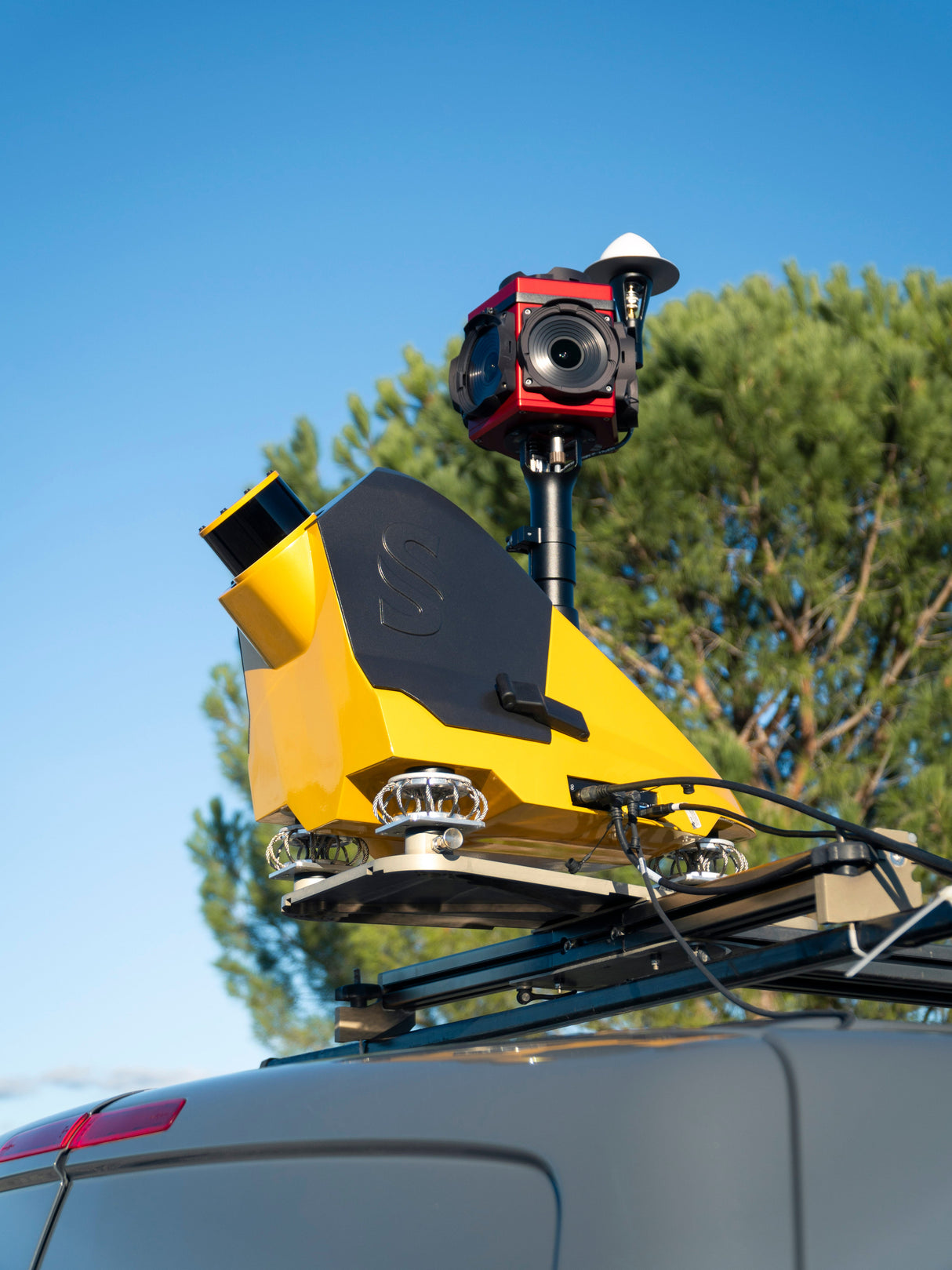
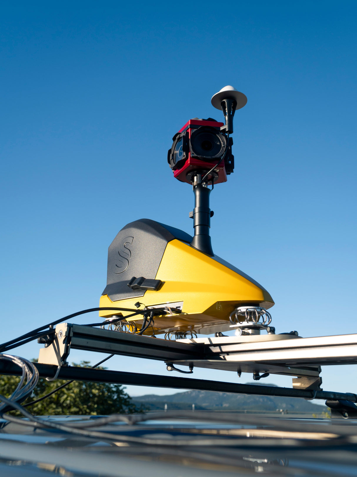
The YellowScan Fly & Drive is a versatile LiDAR solution built for seamless geospatial data collection across both aerial and ground-based missions. Whether mounted on a UAV or land vehicle, it delivers high-resolution point clouds with 3 cm precision and 2.5 cm accuracy—at speeds up to 50 km/h and ranges up to 200 m.
A custom quick-mount bracket enables fast transitions between drone and vehicle, minimizing downtime and maximizing field efficiency. Compatible with multirotor, fixed-wing, and VTOL UAVs, Fly & Drive offers unmatched operational flexibility—ideal for corridor mapping, urban scans, and rugged terrain.
Accelerate deployment, expand mission capabilities, and reduce ROI timelines with this adaptable, all-terrain LiDAR solution.
Pago y seguridad
Métodos de pago
Su información de pago se procesa de forma segura. No almacenamos datos de tarjetas de crédito ni tenemos acceso a la información de su tarjeta de crédito.


